Hiking with a flower identifier in your pocket changes the trail. Suddenly the colorful patches on the slope have names, the strange thing growing out of the rock is a saxifrage, and that cluster of white five-petaled blooms turns out to be three different species you'd been lumping together for years.
This guide is for hikers who want to add real botanical literacy to their walks — without slowing the pace, carrying field guides, or pretending to be experts. Just a phone, an app, and a few field habits that pay off over a season.
Pre-trip: know your habitat
The single most useful thing you can do before a hike is glance at a list of flowers likely to be blooming where you're going, in the season you're going. This sharpens your eye in the field and turns surprise sightings into "I knew that one would be up here."
Quick research, ten minutes max:
- Search the trail name plus "wildflowers" plus the current month
- Check our state pages for the flower-by-state landing pages — each one lists common wildflowers and bloom seasons for that state
- If the trail crosses an elevation gradient, note that bloom timing shifts: 2-3 weeks later for every 1,000 feet of elevation gain
- Bookmark or screenshot 5-10 likely candidates so you have offline reference
This kind of preparation isn't about being a know-it-all. It's about giving your brain a few hooks to hang observations on. Once you've seen pictures of glacier lilies, you'll spot them on the trail; without that hook, your brain just files them as "yellow flower."
What to carry
You don't need to add weight. The minimum kit:
- Phone with the identifier app installed (and downloaded for offline if your app supports it)
- Battery pack — flower identification is camera-heavy and burns through charge
- Optional: a small hand lens or 10x loupe for examining tiny features (especially useful in alpine zones)
- Optional: a lightweight field notebook for sketching anything you can't immediately ID
What to leave behind: heavy field guides. The app replaces them for 95% of finds.
The trail workflow
You can't stop and identify every flower on a serious hike — you'd never reach the destination. The workflow that works for most hikers:
- Pause briefly at first sightings: when you encounter a species you haven't seen on this trail yet, take a photo and a quick mental note. Don't run identification yet.
- Batch identify on breaks: at your snack break or summit, run the app on all your photos at once. This is more efficient and lets you focus on hiking between stops.
- Slow down for the unusual: if you see something genuinely strange — a flower you don't recognize at all, in a habitat where it shouldn't be — stop and run identification immediately. The context (where it was, what was around it) is part of the data.
Habitat as a clue
Habitat is one of the most underused identification tools. Many flowers are tightly tied to a specific environment, and noticing where you found something narrows the candidates dramatically.
Useful habitat categories for hikers:
- Stream banks and seeps: monkeyflowers, marsh marigolds, false hellebore, lobelia
- Dry south-facing slopes: balsamroot, lupines, paintbrushes, prickly pear flowers
- Forest understory: trillium, bunchberry, twinflower, wild ginger
- Alpine and subalpine meadows: glacier lilies, avalanche lilies, pasque flower, alpine forget-me-nots
- Roadcuts and disturbed soil: fireweed, evening primrose, thistles, common mullein
- Rocky outcrops and talus: saxifrages, alpine penstemons, stonecrops
When the AI returns a candidate, ask whether the habitat matches. If you're standing in deep forest shade and the app suggests a desert species, something's off — try a different photo or angle.
Elevation matters more than people realize
On a long climb, the same trail can pass through three or four distinct floral zones. Pay attention to where on the elevation gradient you're seeing each species. Many flowers have a narrow elevation range, and noting where something blooms is part of identifying it.
A rough framework for the western US (adjust regionally):
- Below 4,000 ft: lowland wildflowers, shrub-steppe species, riparian zone
- 4,000-7,000 ft: montane meadows, lupines, paintbrushes, balsamroot
- 7,000-10,000 ft: subalpine meadows, glacier lilies, columbines, asters
- Above 10,000 ft: alpine cushion plants, moss campion, alpine forget-me-not, sky pilot
Bloom timing on the trail
Two trail-specific timing concepts that change how you plan:
The bloom wave: as snow melts and temperatures climb, blooms move uphill. A meadow that's all glacier lilies in early June will be all lupines in mid-July and goldenrod in September. Returning to the same trail at different times is one of the cheapest ways to see new species.
Aspect timing: south-facing slopes bloom weeks before north-facing ones at the same elevation. If you're early in the season, prioritize south slopes. Late season, go north.
Ethics on the trail
This matters more than usual on protected land:
- Stay on trail. Trampling alpine vegetation is the single biggest threat to delicate floral communities. Recovery time for one bootprint in alpine tundra can be a decade or more.
- No picking, ever, on public land. The app means you don't need a sample.
- Don't geotag rare finds publicly. If you photograph something rare or protected, share the species but not the location. Geotagging has been linked to localized poaching for orchids and rare bulbs.
- Report invasive species. Many states have apps or websites for reporting invasive populations. If you ID something on the watch list, take a moment to log it.
What to do with everything you've found
Without a system, your trail flower photos vanish into a camera roll and never get looked at again. A few low-effort options:
- Trail journal: a single note per hike with the trail name, date, elevation, and 5-10 species you identified. Searchable later.
- Year list: keep a running list of every species you've identified this year. Birders do this; it works for flowers too. By year three the list becomes a real record of your range.
- iNaturalist: cross-post your sightings to iNaturalist for citizen science contribution. Researchers use this data.
- Photo album per trail: build a "best blooms" album for each favorite trail, organized by month. Years later you'll have a reference for when things peak.
The hike is the same length whether or not you can name the flowers, but the experience after a season of identification is fundamentally different. Trails feel populated with characters instead of generic green.
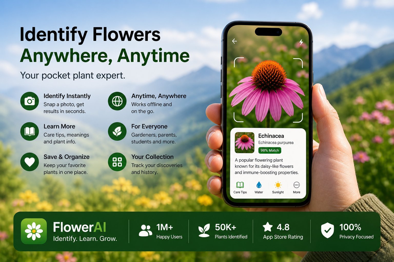
Try Flower Identifier — free on iPhone
AI-powered flower ID from a single photo. Bloom, leaf, or whole plant. No account required.
Download on the App Store